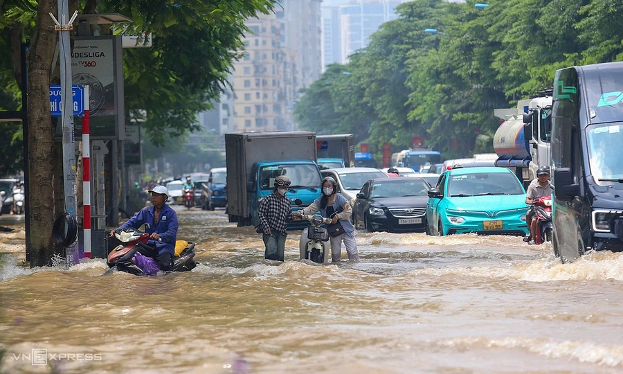
Hanoi has integrated a real-time flood monitoring map into its existing "iHanoi" mobile application to improve disaster response and public safety. Powered by data from the Hanoi Sewerage and Drainage Company's automatic stations, the tool displays live rainfall measurements and flood depths using a color-coded system. Users can receive automatic push notifications about inundation risks within a customizable radius of 1 to 100 kilometers, with options to schedule alert times. The feature aims to help commuters, logistics operators, and residents in low-lying areas avoid hazardous routes, protect vehicles, and safeguard property during heavy rains. The mini-app is accessible on both iOS and Android devices without requiring a separate installation, and its basic search functions remain usable even if location permissions are disabled.
Source : VnExpress
Photo : VnExpress